Home / Shop
| Bestellen Sie jetzt Ihre DKW-Karte für 2026 Zum Beispiel unsere neue DKW 1600+ North Sea Coast NL oder die beliebte DKW 1800-Serie und DKW die Niederlande! | 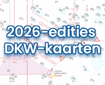 |
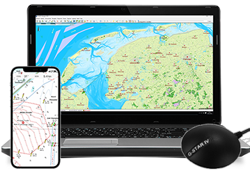
| Premium-Abonnement 2026 Erhalten Sie 2026 das neue WinGPS 6 inklusive aller Updates, exklusiver Rabatte und Premium-Helpdesk Service. | |

| Haben Sie Fragen? Rufen Sie uns unter +31 515 443515 an, füllen Sie das Kontaktformular aus oder vereinbaren Sie einen Termin in unserem Geschäft in Heeg. |
Wir akzeptieren Zahlungen über:
  |
  |
  |
 |